Snodland Luddesdown and Cuxton
An 8.82 mile walk starting from Snodland. Total elevation gain 780 feet.
Take the 9:49 Nu-Venture bus number 151 from Chatham bus station.
This walk is covered by the Ordinance Survey Explorer Map #148
Download file for GPSWe went to the Pavilion cafe in Snodland for a coffee and comfort stop before the walk. From the centre of the village take Constitution Hill and turn right into Cemetery Road. Take the track to the right of the Cemetery Gate. Follow the path over a track by Crookhorn Bungalow and up the hill through Crookhorn Woods.
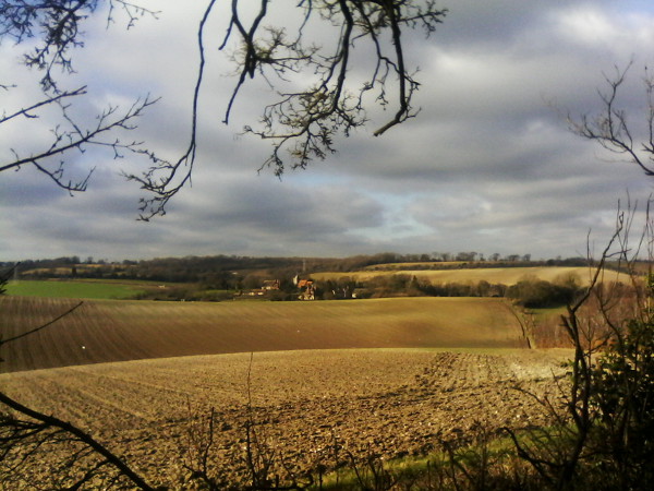
The path descends and then goes over another track and up a very steep hill coming out into an open field near Holly Hill House. Cross the track and turn right into Holly Hill. Take the left fork down a steep hill through Punish Wood and Matthewdown Wood. Turn right at Wrangling lane and continue through Great Buckland.
After a while take the left fork towards Lower Luddesdown. Take a left turn and immediately a right turn opposite the Golden Lion Pub. Continue up Henley Street to The Cock Inn. (Please note this is an adults only pub). The pub had a good selection of real ales and a reasonable food menu.
Go back along Henley Street and take the footpath on the left between two houses. Behind the houses take the right fork, through the field and cross the road. Take the path opposite and a little to the left. Continue through a wood then straight ahead along Warren Road. This continues into Bush road and into Cuxton. Depending on the time you may be able to get the 151 bus opposite the school or you may have to continue to the main road and catch the bus opposite the Wight Hart.
Download