Walderslade to Bluebell hill (circular)
This 5 mile walk is similar to the Bus Walk – Walderslade and Kit’s Coty. this walk takes in the Lower Bell Pub and Bluebell Hill picnic area and viewing point.
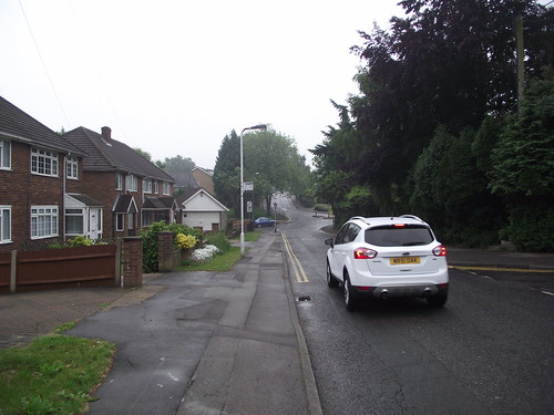
Take the 176 Arriva bus from Gillingham or Chatham to Tunburry Avenue Walderslade
This route is covered on the Ordnance Survey Explorer map 148 Maidstone and the Medway Towns
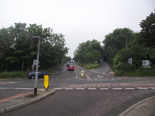
Get off the bus on Tunberry Avenue opposite Forresters Close. And continue walking in the same direction across Robin Hood Lane.
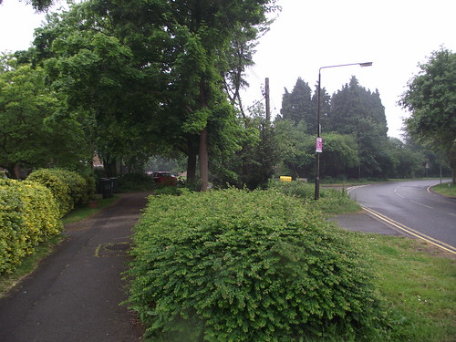
Do not follow the road round to the right but continue in a straight line into Tunberry Road South,
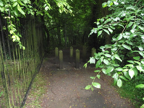
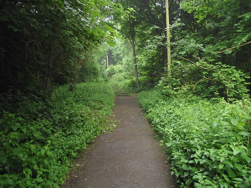
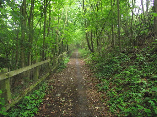
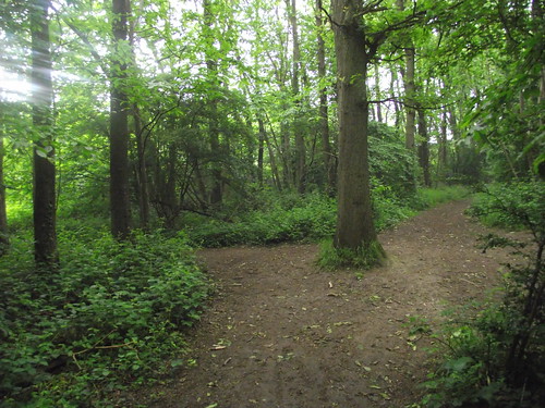
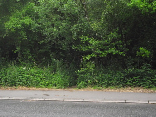
At the end of the road continue past the barriers into the woods.
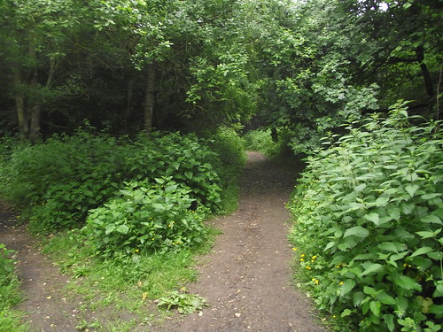
Keep following the path.
and cross a minor road.
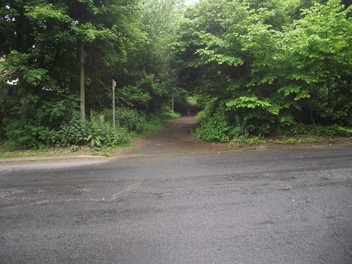
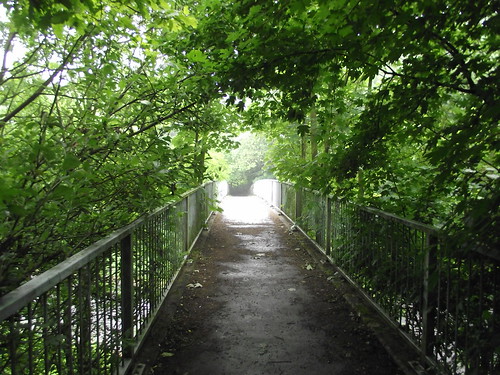
Cross Walderslade Woods Road via the footbridge
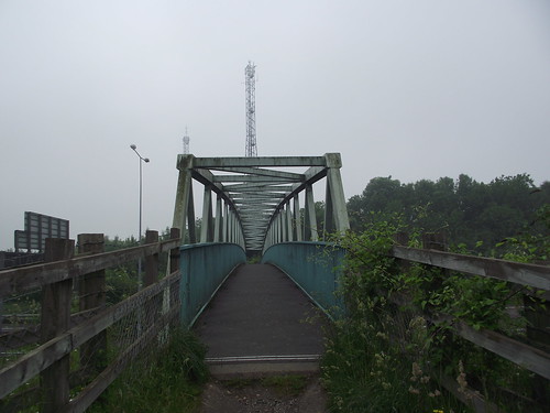
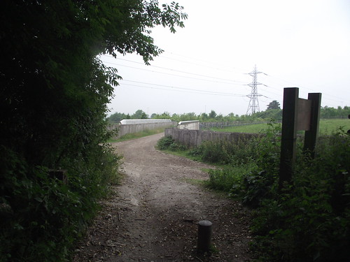
and follow the path round to the bridge over the M2.
Continue through the breakers/farm yard
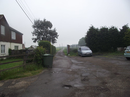
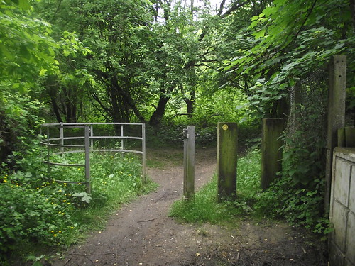
and down the lane. Where the lane turns left, go through a gate into a footpath.
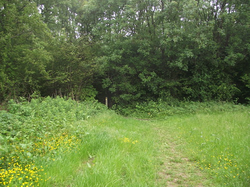
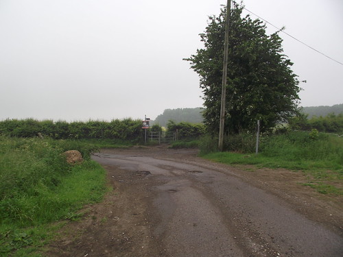 Follow the footpath across the field.
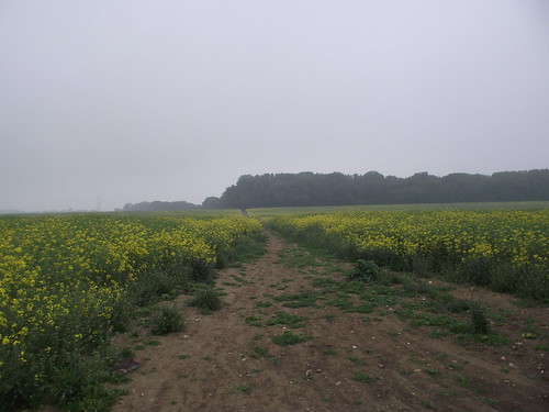
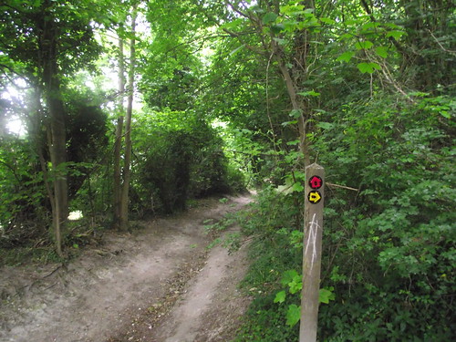
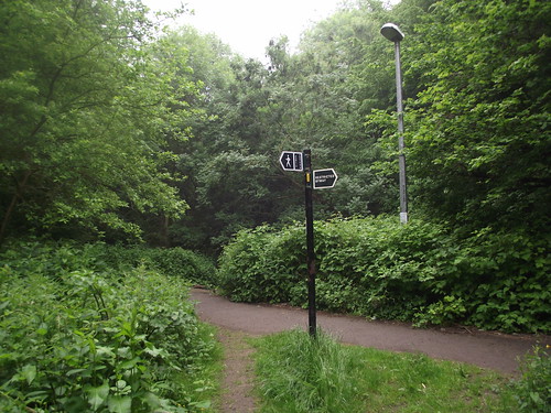
As the path reaches the wood turn right following the “acorn” sign of the North Downs Way.
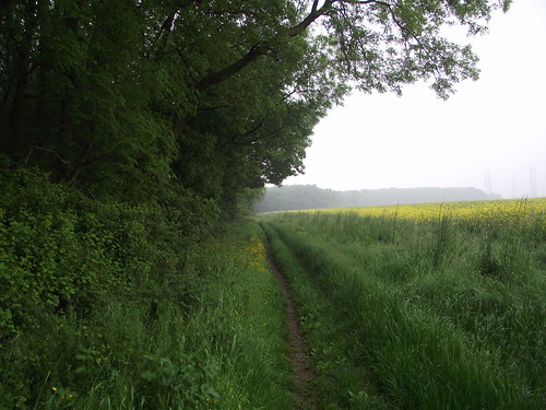
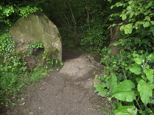
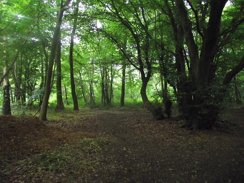
After a while the path takes a left turn into the woods
past some large boulders.
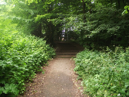
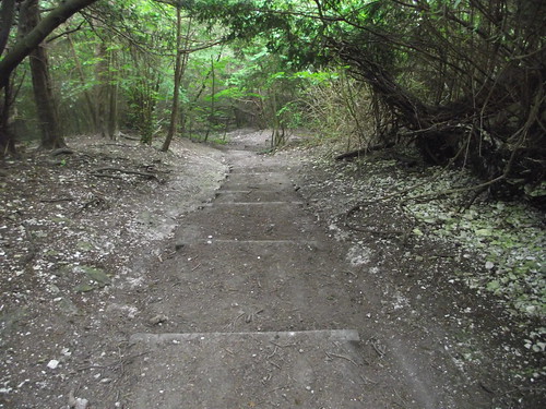
The path continues downhill, with occasional steps at the steeper slopes.
At the bottom of the hill take a right turn into the bridleway. Look out for the “White Horse Stones” in clearing to the right.
Cross the bridge over the High speed rail link.
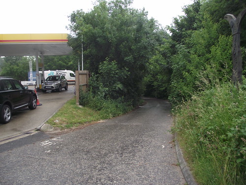
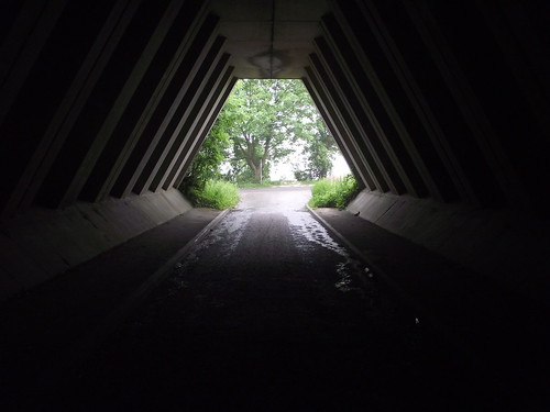
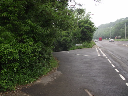
Keep the Motorhome centre and petrol station on your left and follow the road down through the underpass.
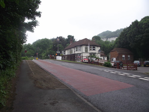
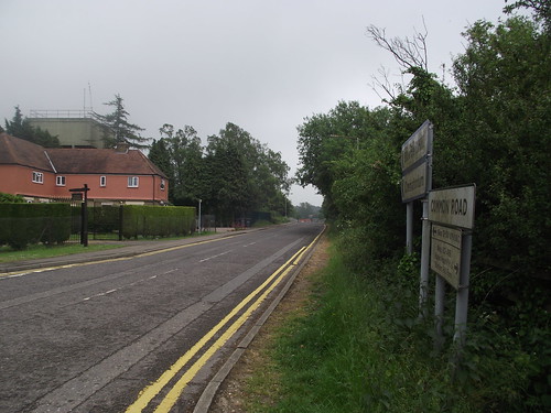
Turn right at the end of the tunnel and continue up the Old Chatham Road.
To the Lower Bell Pub
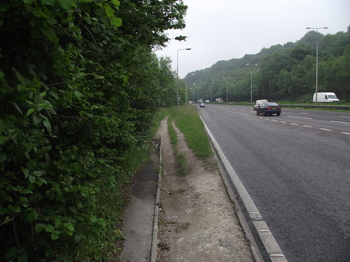
Continue up the footpath on the side of the road.
You have to skirt the A229 for a few metres
The path then returns to the Old Chatham Road
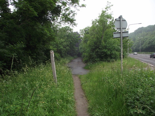
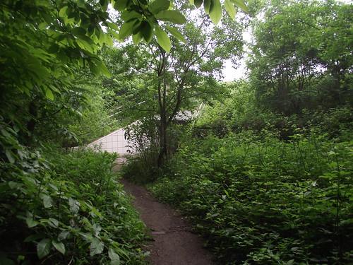
Before turning into a woodland trail
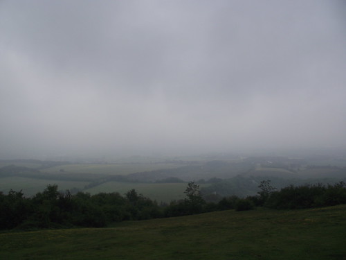
You soon reach the Bluebell Hill picnic area. On a clear day there are fantastic views over the Weald of Kent
Leave Bluebell Hill via the car park and turn right, over the bridge.
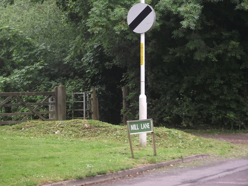
Continue straight on to Mill Lane. Where Mill Lane bends to the right there is the gated entrance to recreation ground next to which is the ungated entrance to a footpath. Take this footpath into Podkin Woods
 Continue through the woods as you get close to the Motorway take a left turn.
You will see the entrance to a subway under the motorway.
At the end of the subway take a right turn
Take a left turn a left turn as you near Walderslade Wood Road
Across the road you will see the entrance to a small path. Just as you enter the woods turn right onto another path.
Continue along the path taking a right fork.
You will reach a sign post where a made up path crosses your path take a left turn here.
Continuing up the the hill you will soon come to the barriers at the end of Tunberry Avenue South where you started the walk.