High Halstow to Hoo St Weburgh
An 8 and a half mile walk on the Hoo peninsular. Take the 191 Arriva bus from Chatham to High Halstow getting off the bus near The Red Dog Pub. The 191 Arriva bus also serves for the return journey from the Hoo Marina but a more frequent service is available outside the Co-op in Hoo St Werburgh
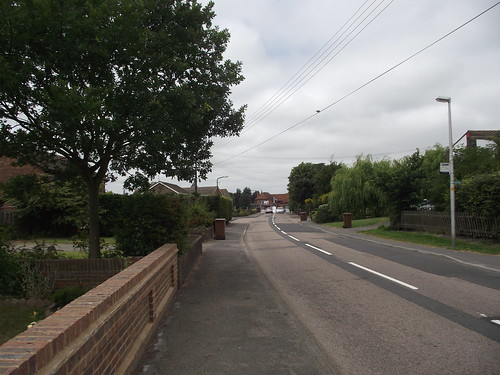
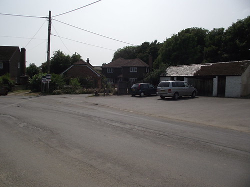
Download file for GPSThe Red Dog Pub
Facing the pub you will see Forge Lane to the right
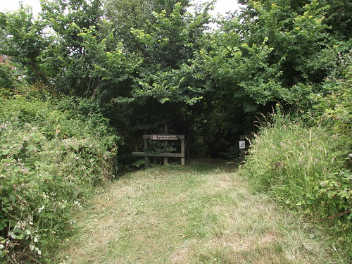
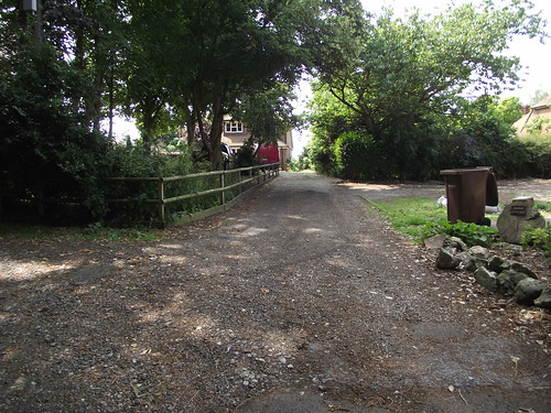
Go down Forge Lane to the Public Footpath

Follow the footpath into the Norward Hill RSPB nature reserve.
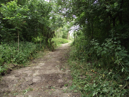
Follow the paths through the nature reserve in a northerly direction
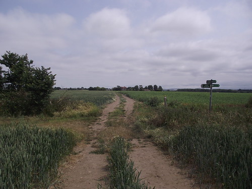
Until you come the Saxon Shore Way going west to east
The path continues to the edge of the reserve
Then through a gate in the corner of the field.
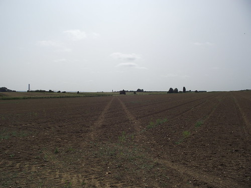
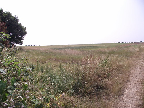
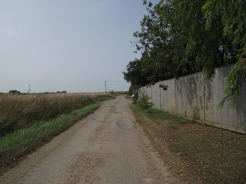
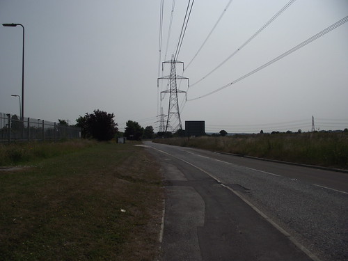
Into open farmland.
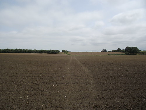
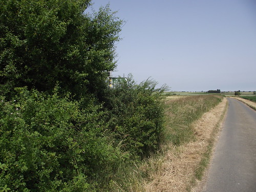
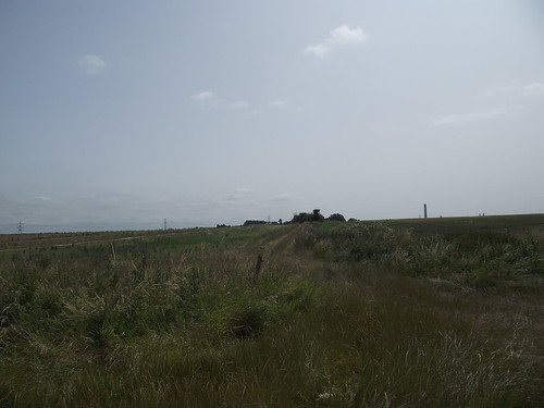
You will see the Thames Estuary on your left
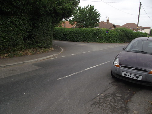
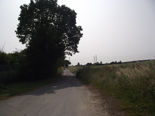
The path turns right onto a small lane
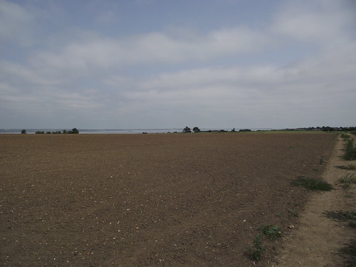
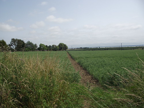
And continues across a field
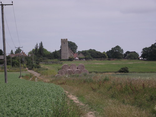
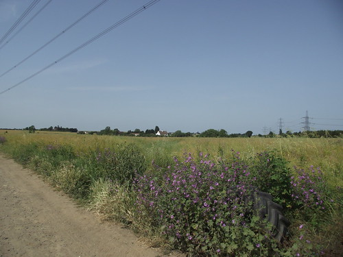
Leave the Saxon Shore way and continue in a straight line. You can see St Mary’ Church Hoo in the distance
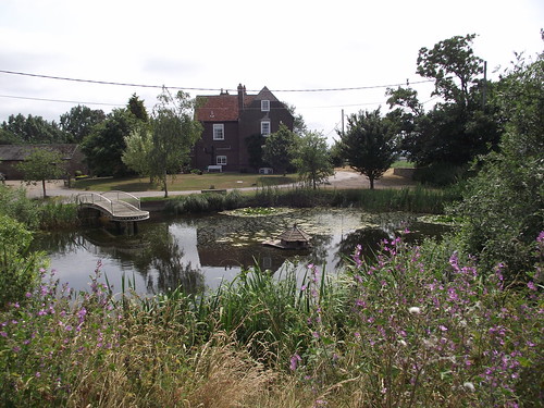
The path skirts the north of the pond at Newland Farm
There is a bench to enjoy the view
Continue on towards St Mary’s Church
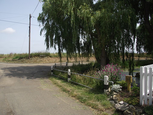
The path changes to a lane by the Church, take a right turn past another pond
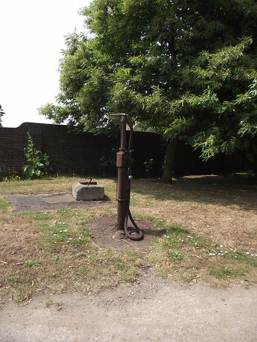
Look out for the old fashioned petrol pump
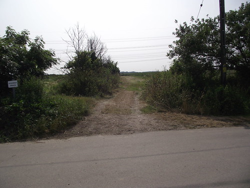
Take the path off to the left
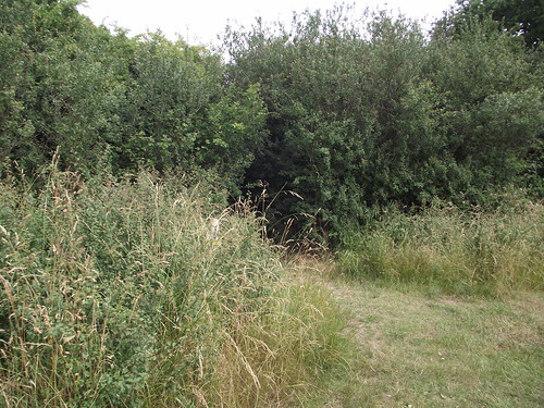
It was a bit overgrown when I walked the route
especially at the end
Crossing the road the path is clearer
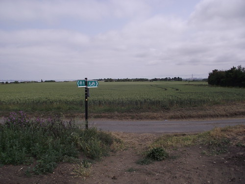
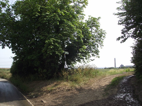
Come out onto Hopper’s Lane and follow it for about half a mile where you will see a signpost on the left of the road.
Take the path on the right
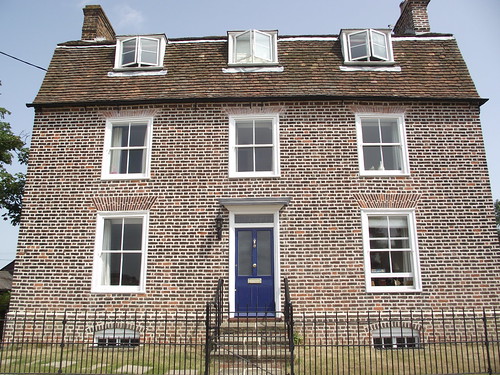
Just before you reach Orchard House take a path off to your right across the field
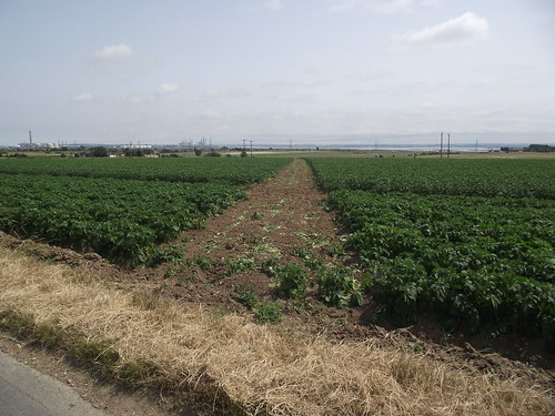
The path continues along the side of a field
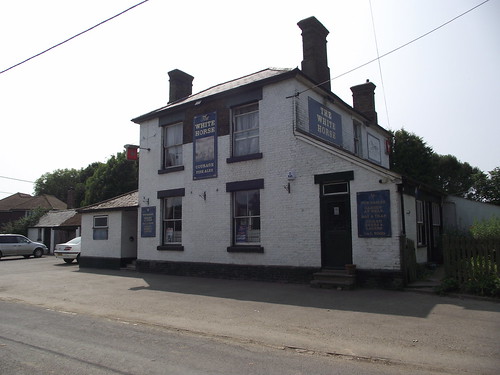
Take extra care crossing the A228. Take the road into Stoke village, passing Court Lodge farm house and the White Horse Pub (which unfortunately was closed when I walked past.
Just after the pub take a path to the right.
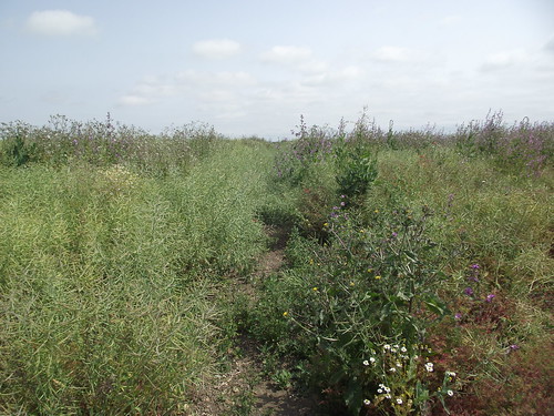
The path was not clearly waymarked here
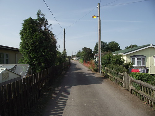
Beyond the houses take a left turn
The path widens out
Take a right turn when you get to the lane
Then a left
You can just see the waymark on the telegraph pole

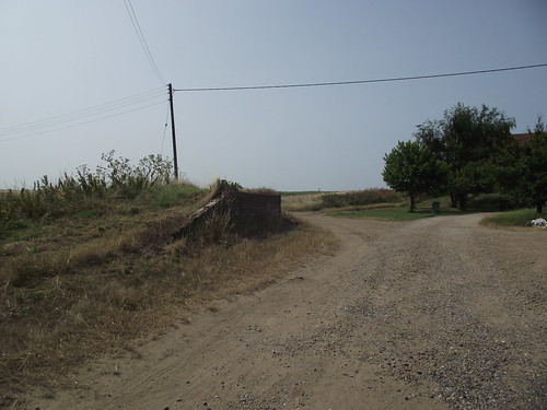
Across another lane. The footpath has been rerouted to cut off a corner.
Cross the railway line

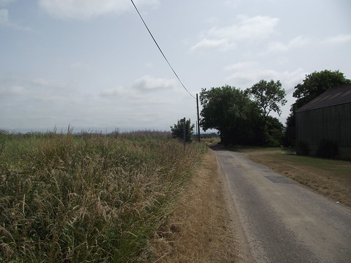
The road layout seems to have been altered but keep walking down Eschol Lane
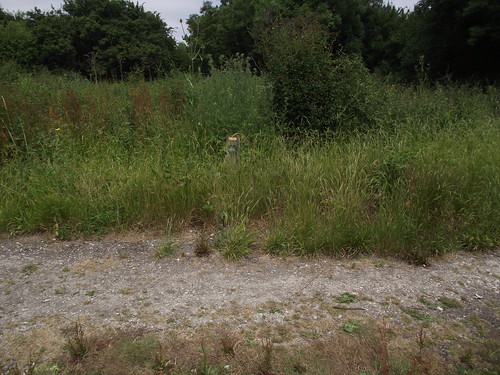
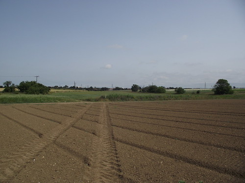
Go straight across the road onto the path. This was not clearly waymarked.
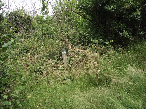
then turn left at the post
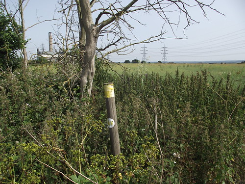
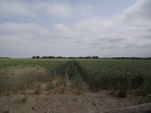
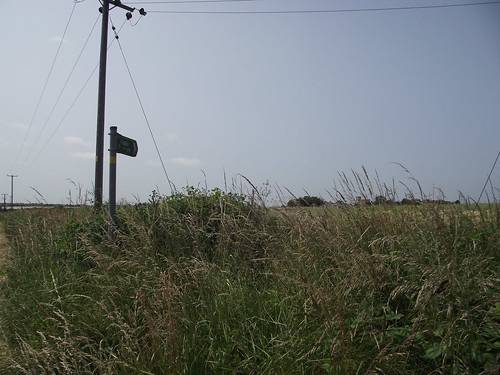
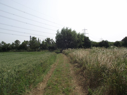
This path was overgrown but it goes between the two pylons
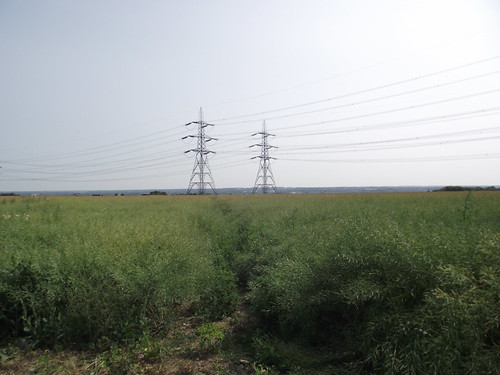
Looking back in the opposite direction it is even less clear to see.
 .
.
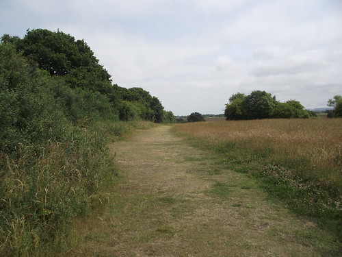
The path widens out. You take a right turning at the juction
At the end of the path take a left turn back onto the Saxon Shore Way.
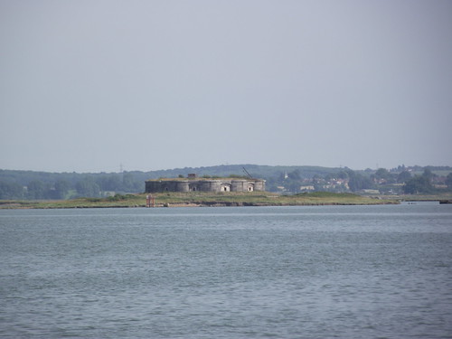
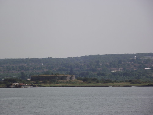
Turn right when you reach the river 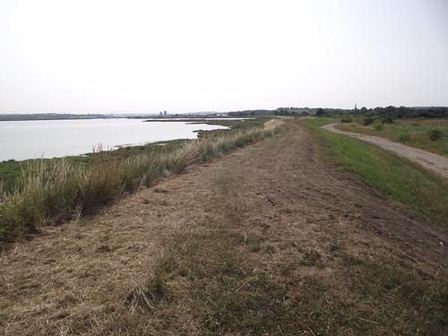
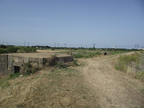
You can see some of the Medway defenses , Darnet Fort, Hoo Fort and World War 2 pillboxes
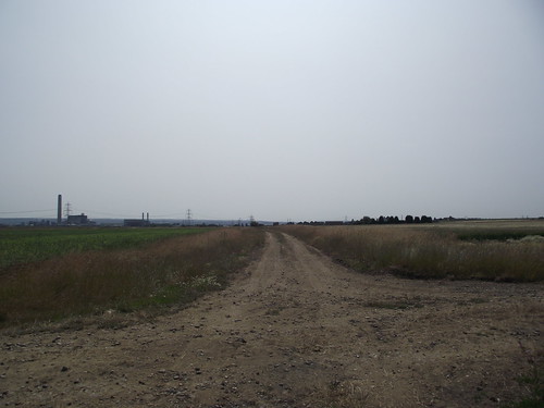
Round the back of the factories
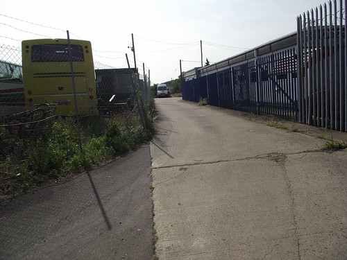
Into the Hoo Marina Park
There is a bus stop at the end of Vicarage Lane at the entrance to Hoo Marina Park, but there is a more frequent bus service from the centre of Hoo St Werburgh.
Downloads
High Halstow to Hoo – Google Earth File
High Halstow to Hoo – GPS Exchange Fiole